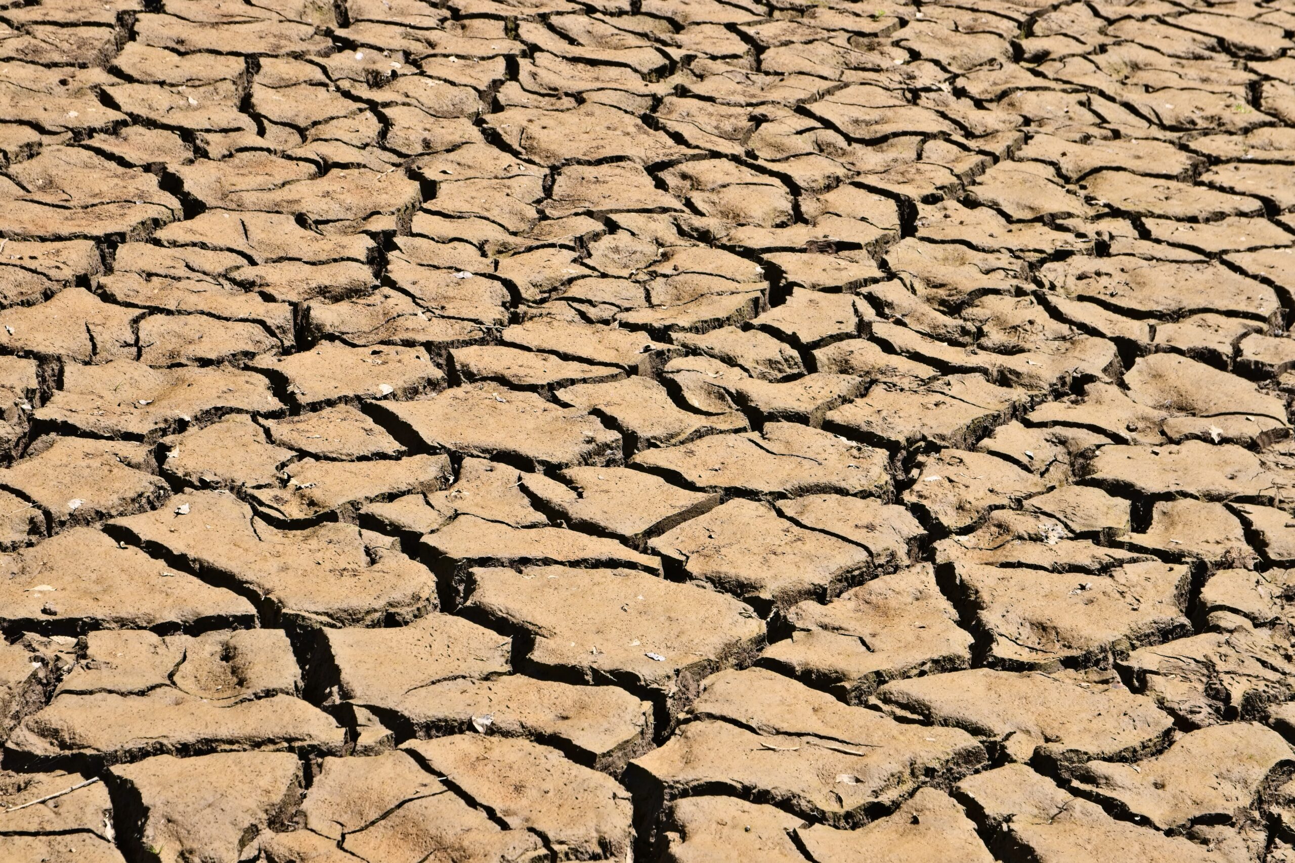
Erinanne Saffell, director of the Arizona State Climate Office, discussed the record-breaking heat that engulfed the Southwest this summer, as well as the relative lack of precipitation, during a monthly webinar on Thursday, Aug. 17.
“Most locations in Arizona had their hottest July as well as their hottest month on record,” Saffell said. “So that says something about what we’ve all just experienced here in July.”
She added that the office has a more optimistic outlook for precipitation through the end of August and that El Niño conditions promising a wetter and cooler winter are “continuing to be on track to persist through the winter of 2023-24.”
The previous record holder for the hottest month ever for the state was August 2020, which was part of a so-called “non-soon” due to its lack of precipitation.
Statewide average precipitation for July was 1.79 inches and statewide average temperature was 80.1 degrees Fahrenheit. The city of Phoenix in particular experienced the hottest month on record for a United States city, with 17 days showing a maximum temperature of 115 degrees or higher while receiving no measurable precipitation.
“Heat waves impacted much of the U.S. in July and brought record temperatures to parts of the Southwest,” the National Oceanic and Atmospheric Administration stated in its climate summary for July 2023. “The region as a whole tied with 2003 as the warmest July on record. This July was the 11th warmest on record for the nation, while precipitation [nationally] ranked in the middle third of the historical record.”
Arizona’s nighttime minimum temperatures for the month of July have also been increasing at a greater rate compared to the daytime maximum since 1994.
“Something significant about the 1994-2023 timeframe is that it completely encapsulates our latest drought,” Saffell said. She referred to 1994 as the start of the recent statewide long-term drought. “That’s something to consider when we’re looking at trying to mitigate those causes of the minimum temperature, namely the urban heat island.”
Saffell attributed last month’s lack of precipitation to a persistent and strong ridge of high pressure, commonly referred to as a heat dome, that was in an unfavorable location to be able to draw moisture into the region from the Gulf of California or the Gulf of Mexico for monsoon formation.
June was also cooler than expected, which delayed the start of thunderstorm activity as well.
Saffell explained that Arizona’s monsoon will usually start once the heat dome has moved over the Four Corners area; however, in July, it was located over Utah, Nevada and occasionally Texas. The normal pattern occurred briefly on July 17, triggering a short series of thunderstorms, but July ended up being Arizona’s third-driest statewide month on record.
“The heat dome returned to the Four Corners in August to help start thunderstorm activity again,” Saffell said. “There are different heat dome patterns that help build our summer thunderstorms, but the Four Corners structure is usually the more common one to start things off in the summer.”
Short-term conditions may improve as Hurrican Hilary moves towards Arizona and California. Northern Yavapai County is not currently in drought conditions although the southern end of the county is considered abnormally dry by the Arizona Department of Water Resources. The department stated that there is “a 90% chance of a moderate to strong El Niño phase maturing into the winter months. As a result, there is a slight tilt in odds towards drier than normal conditions persisting the next couple months, then a slight tilt in odds towards wetter than normal weather during the winter months.”
“We pay attention to that because statistically, when we have these El Niño events, and especially if they’re stronger events and longer-lived, we can get more precipitation in the southern tier, so we can get more winter precipitation and that winter precipitation is ideal,” Saffell said. “It comes in the form of snow hopefully, which helps recharge our water supply. So all of that is looking good.”
JULY STATEWIDE MAXIMUM TEMPERATURES
1981-2010: 94.7 DEGREES
1991-2020: 95.2 DEGREES
1994-2023: 95.6 DEGREES
OVERALL: INCREASE OF 0.9 DEGREES
JULY STATEWIDE MINIMUM TEMPERATURES
1981-2010: 66.1 DEGREES
1991-2020: 66.8 DEGREES
1994:2023: 67.3 DEGREES
OVERALL: INCREASE OF 1.2 DEGREES


